GeoX Raster Lab · Project 02 · Engineering Case Study

Sentinel Lab — Satellite & Terrain Analytics

A high-performance remote sensing workbench and computational raster engine processing authentic European Space Agency (ESA) Copernicus Sentinel-2 Level-2A multispectral imagery and Copernicus DEM GLO-30 topography. Featuring five analytical modules: vegetation phenology, wetland hydrology, wildfire burn severity, digital terrain morphometry, and a sandboxed AST raster calculator.

Interactive Analysis Workbench

Switch between multispectral sensors, inspect probe histograms, test band math expressions, and analyze terrain slope and wildfire contours directly in the browser.

Sentinel Lab Console · Copernicus Sentinel-2 MSI · DEM GLO-30 · EPSG:32633 Fullscreen Window ↗
Applied Remote Sensing Modules

The Five Computational Raster Experiments

Each module addresses a distinct scientific and computational challenge in Earth observation, from agricultural phenology and wetland ecology to wildfire severity mapping and numerical digital terrain morphometry.

Module 01 · Spectral Indices & Phenology

Multitemporal Vegetation Dynamics (NDVI & ΔNDVI)

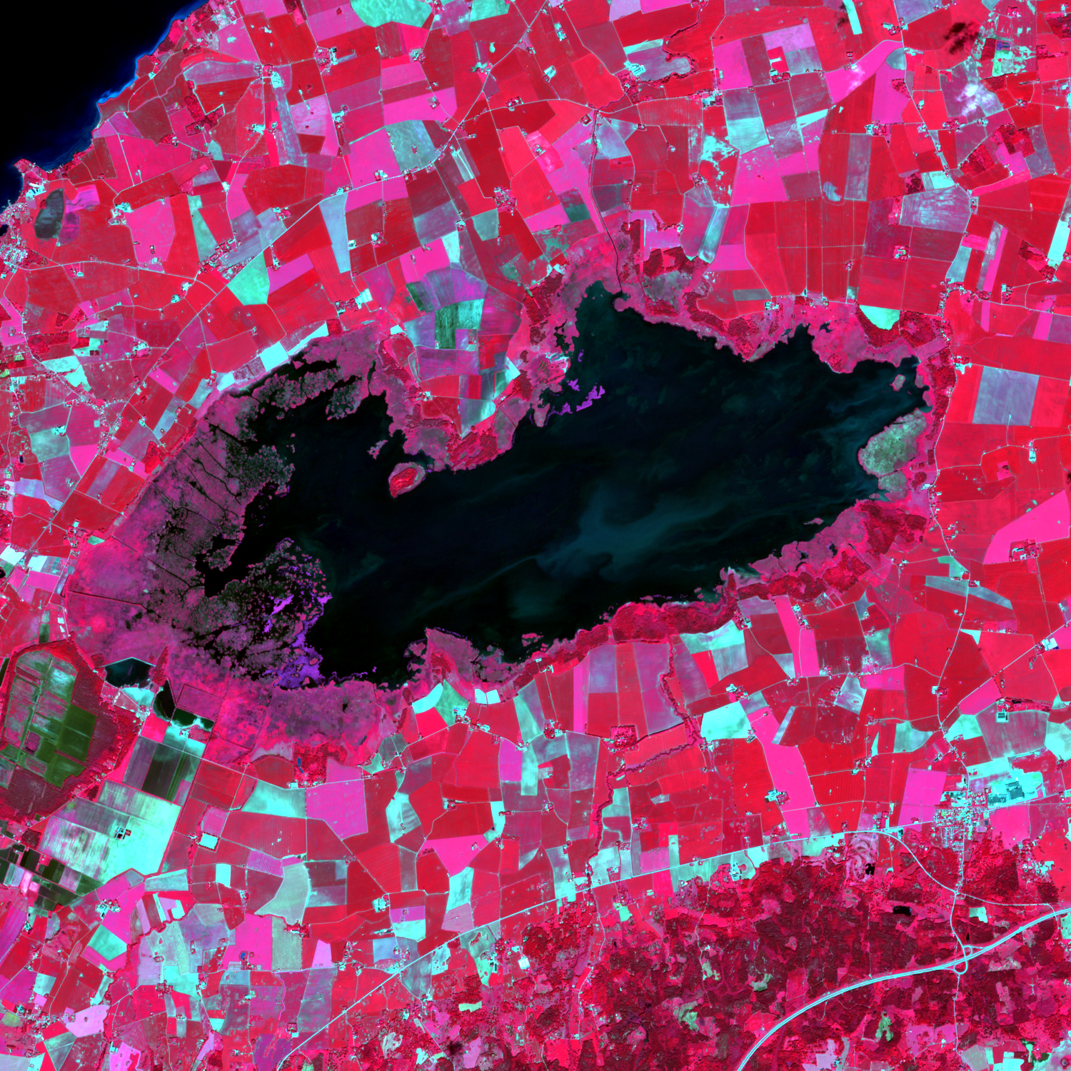
Study Areas: Lake Tåkern · Stora Alvaret (Öland) · Skåne Plain | Sensor: Sentinel-2 MSI 10m BOA
Launch Module 1 ↗

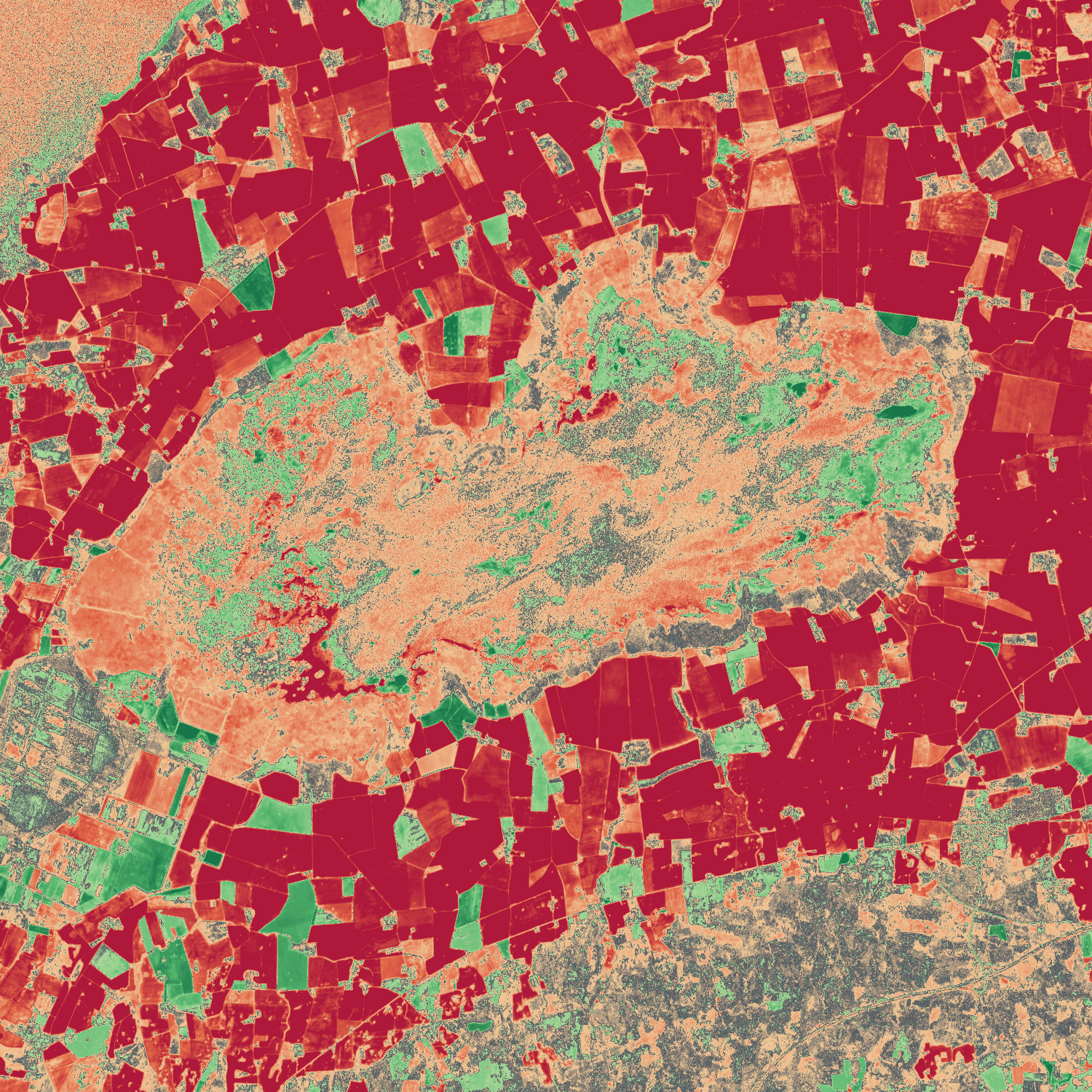
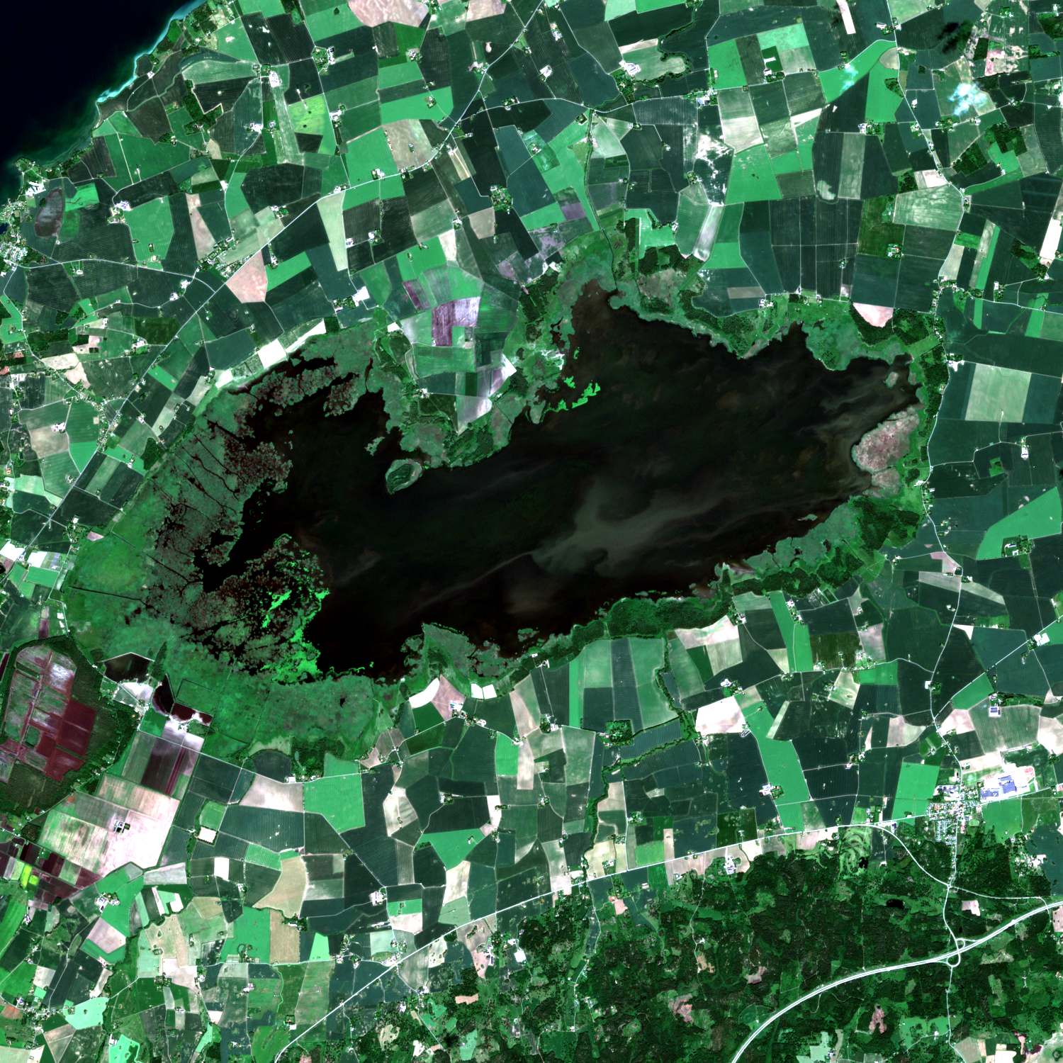
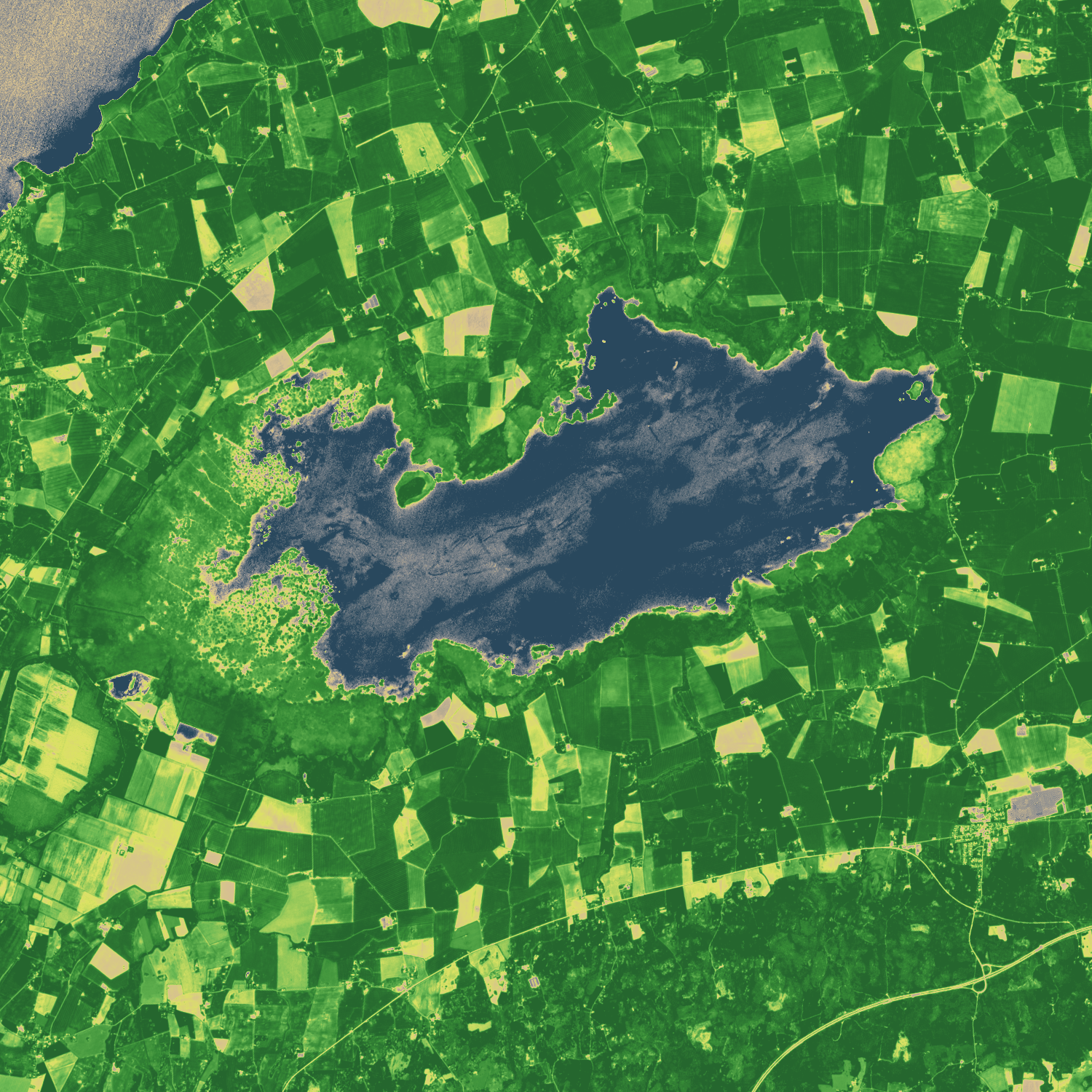
Measures seasonal canopy vitality, agricultural ripening, and crop harvest across southern and central Sweden. The analysis contrasts midsummer peak growth (June/July) against late summer harvest (August/September) by calculating the Normalized Difference Vegetation Index (NDVI) on atmospheric-corrected Bottom-of-Atmosphere (BOA) surface reflectance.

NDVI = (B08 − B04) / (B08 + B04)  |  ΔNDVI = NDVI_B − NDVI_A

Key Finding: Intensive agricultural parcels around Lake Tåkern and across Skåne show a sharp NDVI plunge from ~0.85 (dense vegetative canopy) down to ~0.25 post-harvest. On Öland's limestone grassland (Alvaret), the index reflects moisture stress and drought response. Cloud, cloud shadow, and saturated pixels are automatically masked using the Sentinel-2 Scene Classification Layer (SCL).
Module 02 · Hydrology & Wetlands

Water & Wetland Detection (NDWI / MNDWI)

Study Area: Lake Tåkern (Ramsar Wetland Site) | Sensor: MSI Bands B03 (Green), B08 (NIR), B11 (SWIR-1)
Launch Module 2 ↗

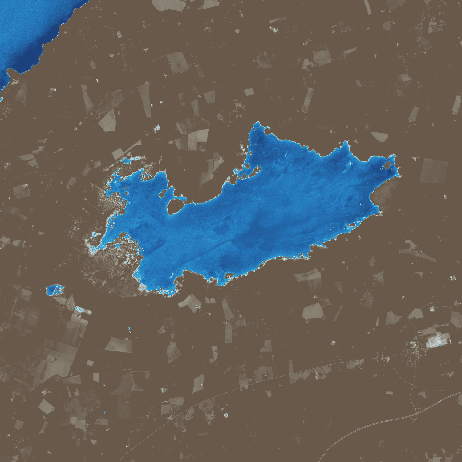
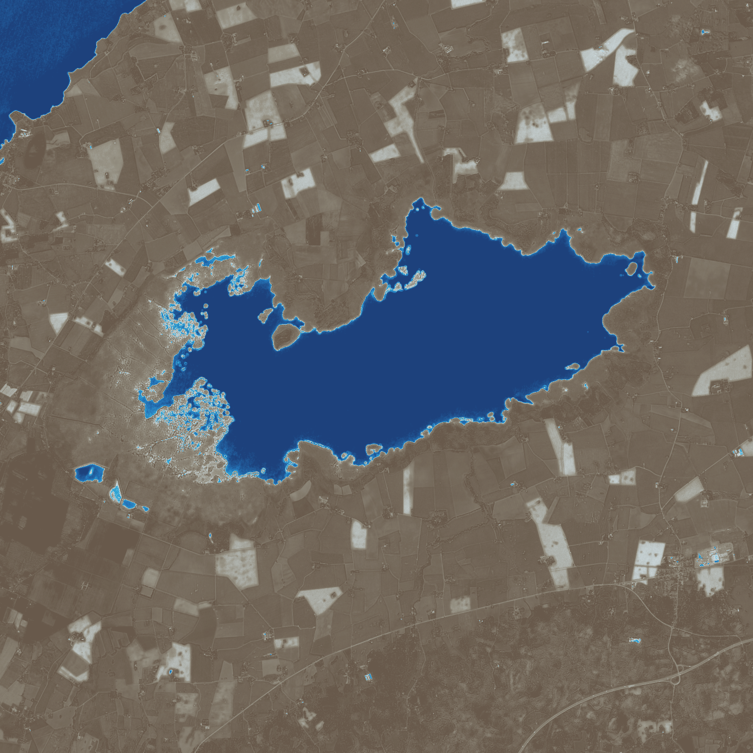
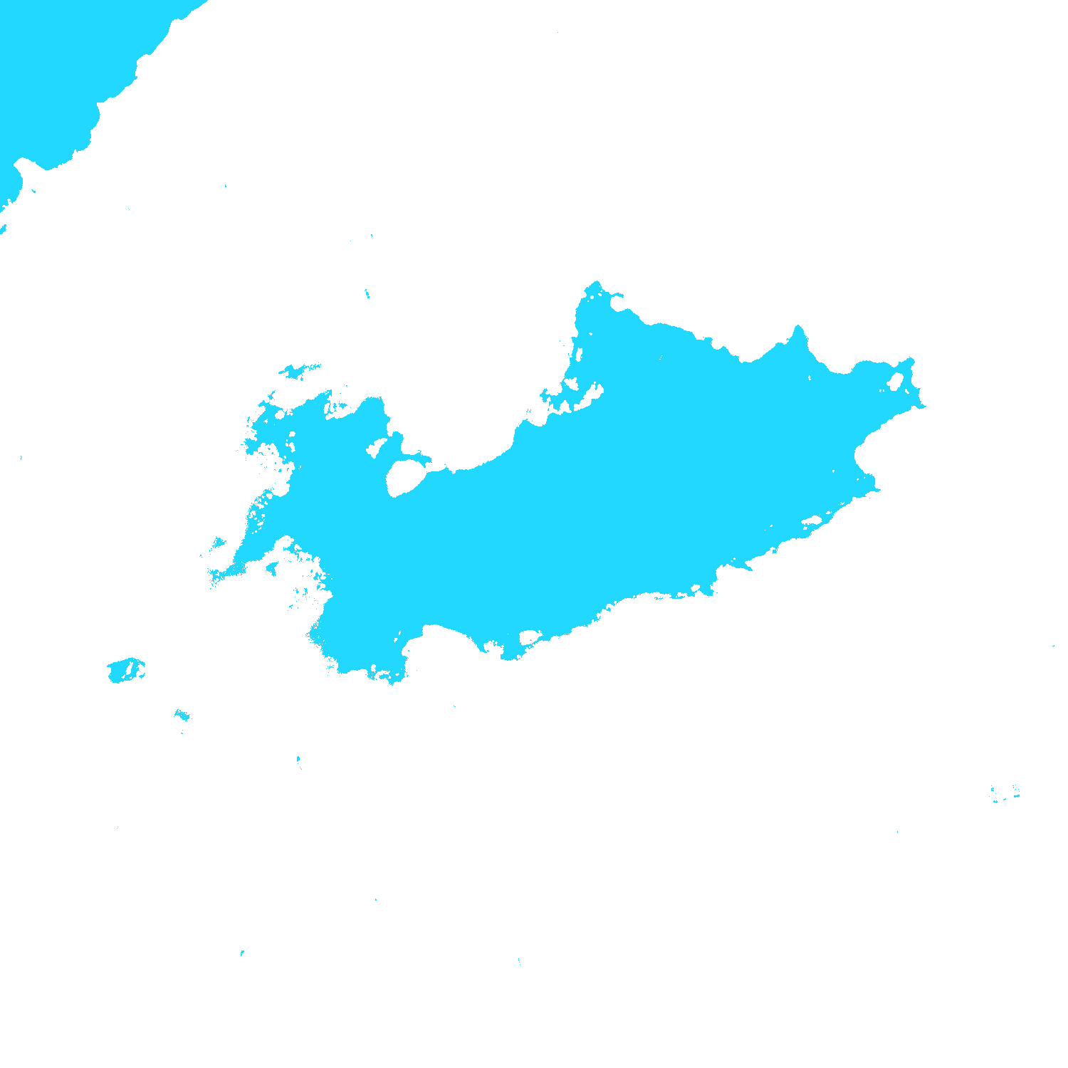
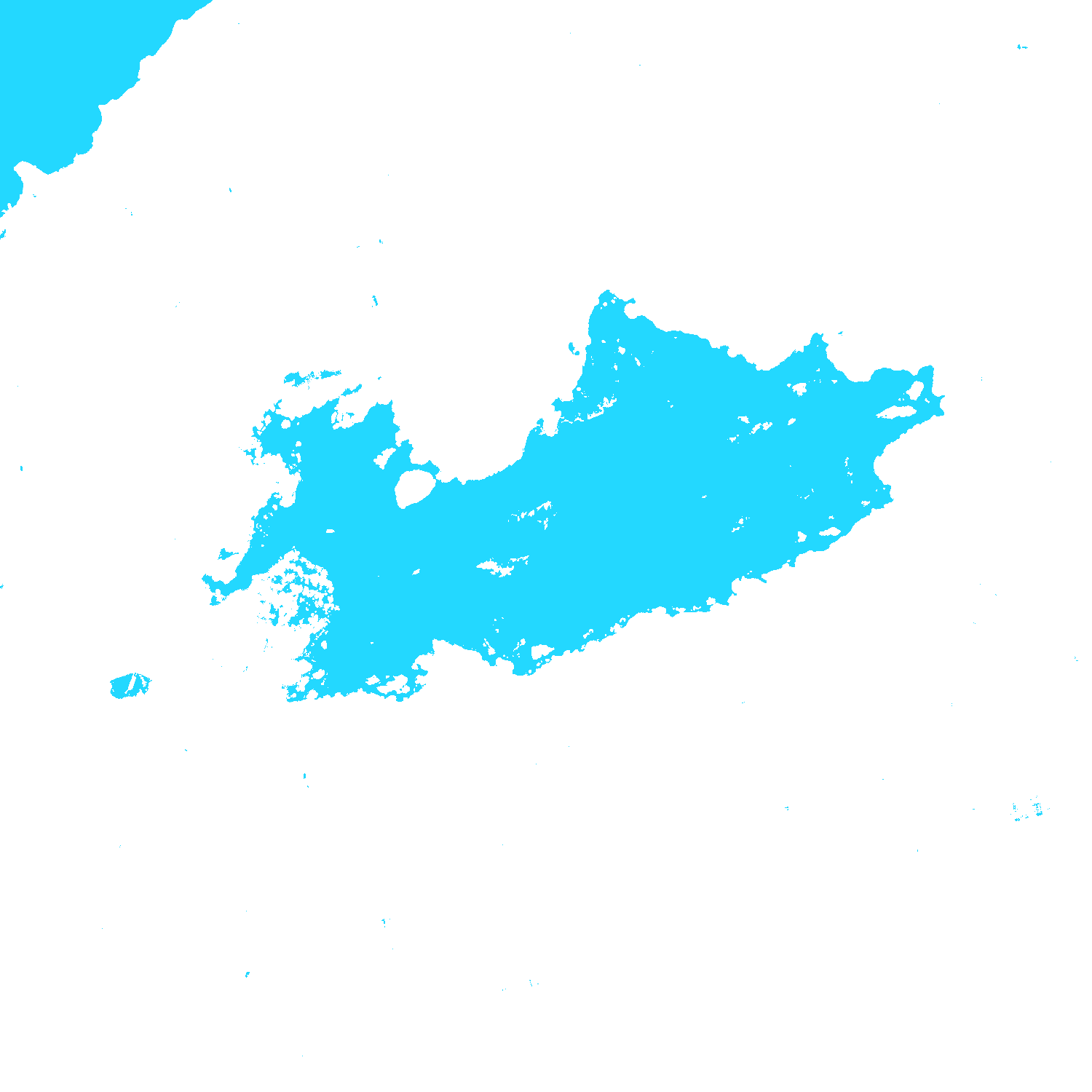
Lake Tåkern is one of Northern Europe's renowned bird reserves, characterized by shallow open waters framed by vast reed beds (Phragmites australis). This module benchmarks classical McFeeters NDWI against Xu's Modified MNDWI utilizing Short-Wave Infrared radiation (SWIR-1 B11).

NDWI = (B03 − B08) / (B03 + B08)  |  MNDWI = (B03 − B11) / (B03 + B11)

Hydrological Insight: Classical NDWI frequently overestimates open water across moist soils and marsh reed fringes. MNDWI strongly attenuates soil and vegetation reflectance in the SWIR spectrum, delineating open water surfaces with high fidelity. The analysis isolates a seasonal water body surface expansion of +0.68 km², accompanied by an interactive client-side threshold slider.

Module 03 · Disaster Analytics & Wildfire

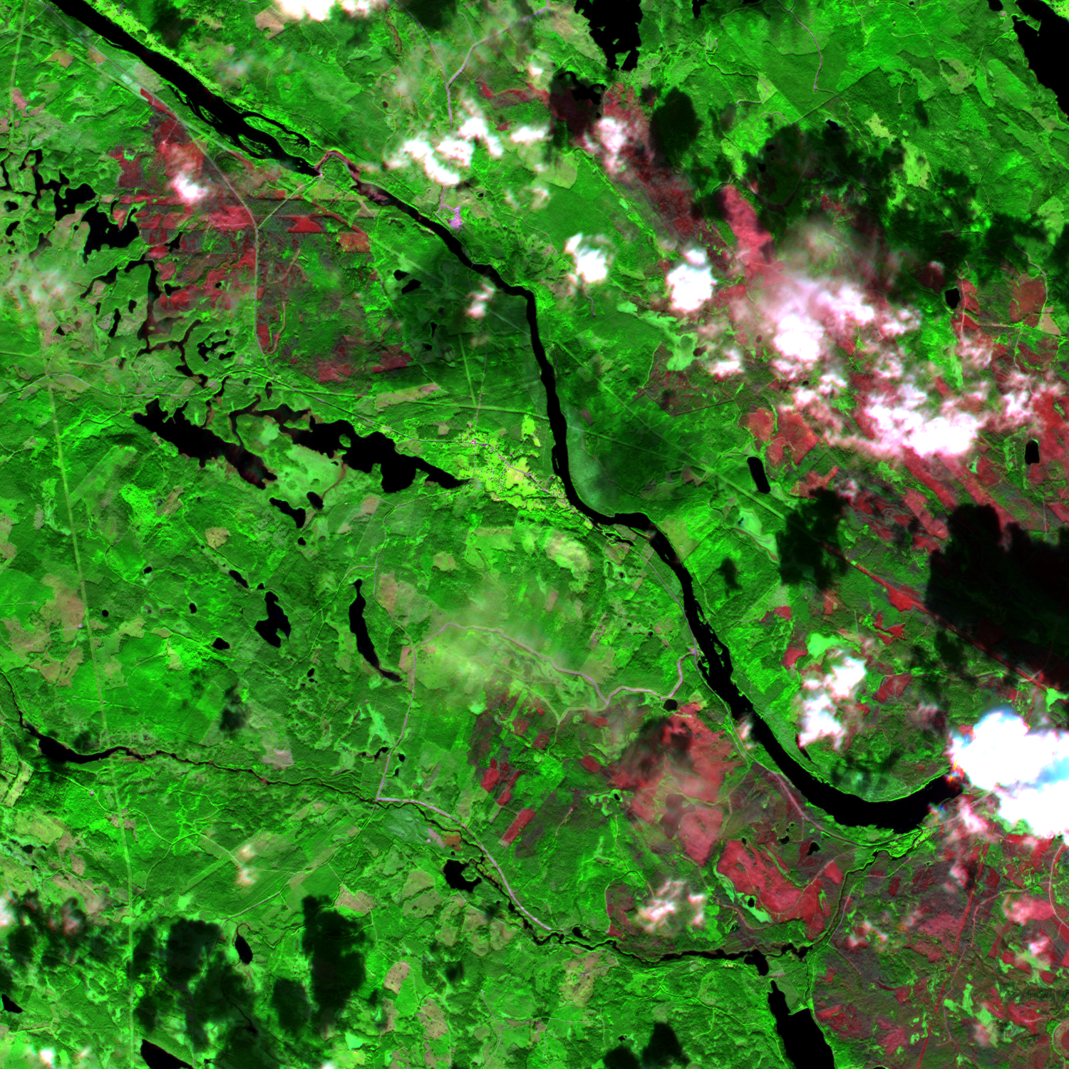
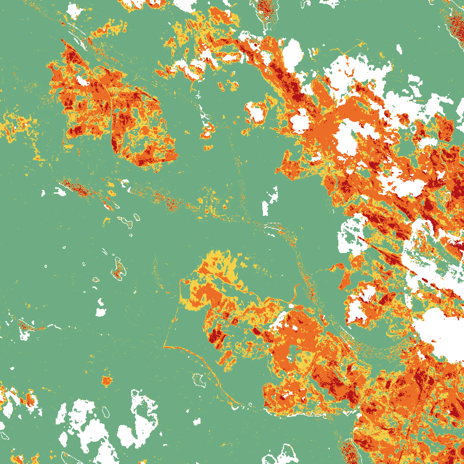
Kårböle Wildfire 2018 (NBR & dNBR Burn Severity)

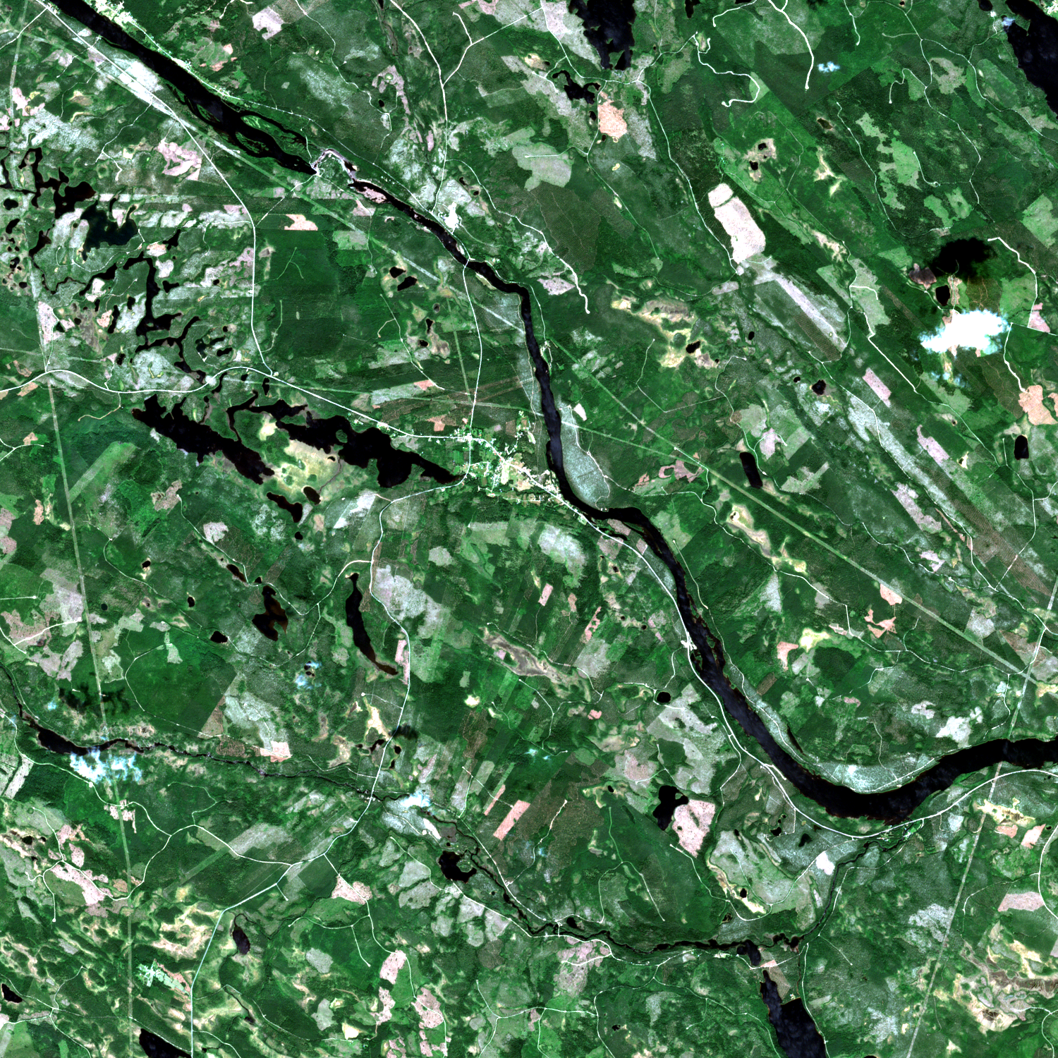
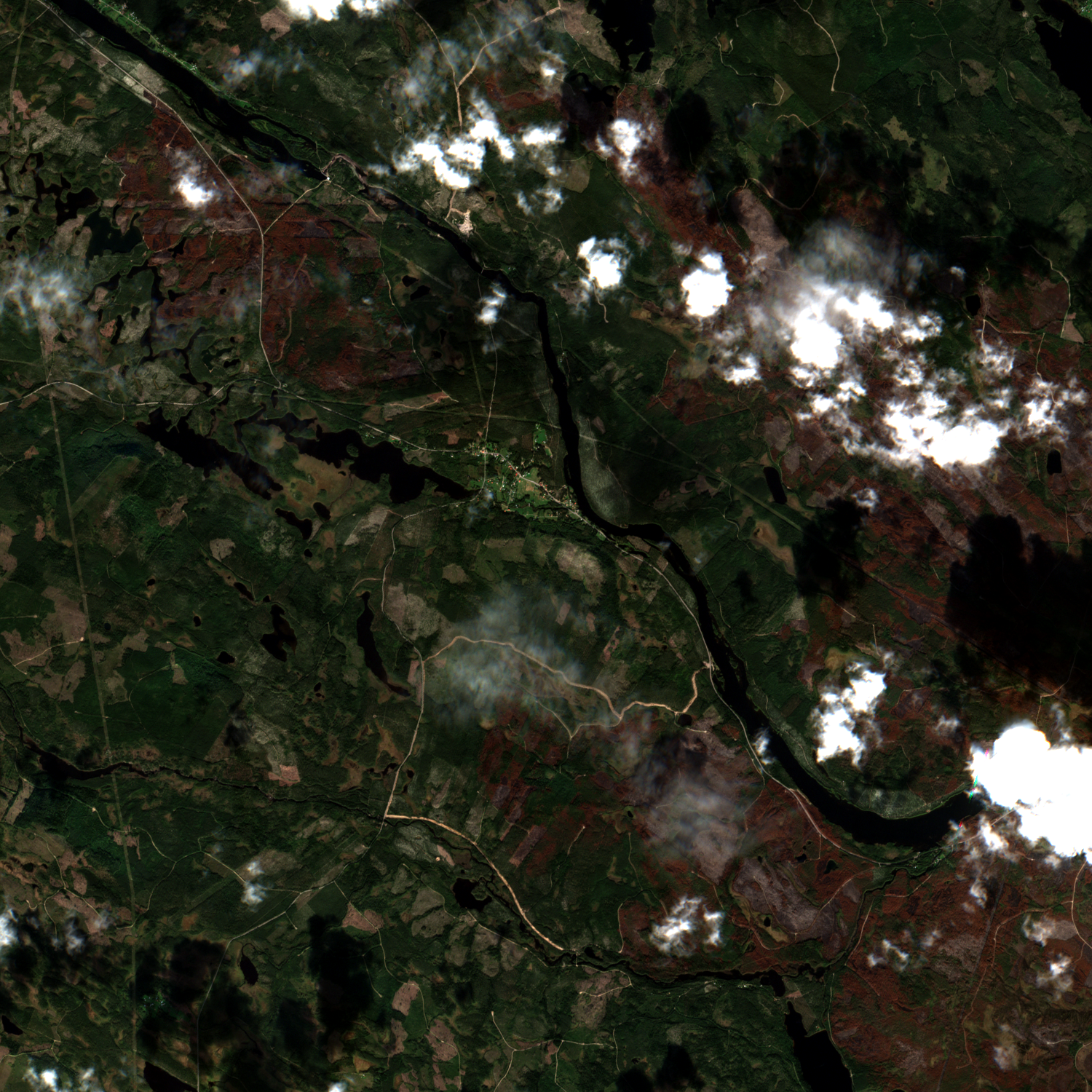
Study Area: Kårböle, Hälsingland (Tile 33VWJ) | Temporal Baseline: 2018-07-04 vs 2018-09-12
Launch Module 3 ↗

The record heatwave and drought of July 2018 triggered the most severe modern wildfires in Sweden's history. This experiment utilizes pair-matched, cloud-free Sentinel-2 observations captured immediately before and after the disaster to classify burn severity according to USGS / Copernicus Emergency Management Service standards.

NBR = (B08 − B12) / (B08 + B12)  |  dNBR = NBR_pre − NBR_post

Quantitative Damage Mapping: By contrasting NIR (B08, 842 nm, strongly absorbed by charcoal and charred biomass) against SWIR-2 (B12, 2190 nm, strongly reflected by bare ash and scorched mineral soils), the engine classifies exactly 6 102 hectares of high- and moderate-severity burned coniferous boreal forest.

Module 04 · Topography & Morphometry

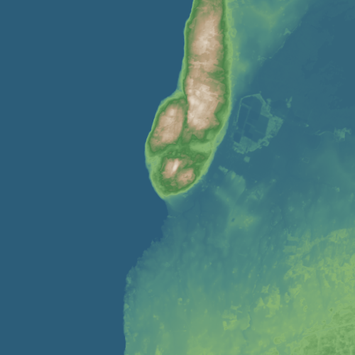
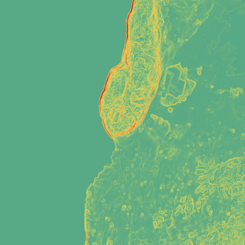
Digital Terrain & Slope Morphometry (Copernicus DEM)

Study Area: Omberg Horst & Lake Vättern Fault Escarpment | Dataset: Copernicus DEM GLO-30 (30m)
Launch Module 4 ↗

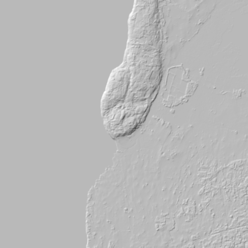
Mount Omberg rises dramatically as an isolated bedrock horst between the deep Lake Vättern tectonic graben and the flat sedimentary plains of Östergötland. This experiment derives analytical morphometric terrain models directly from Copernicus DEM: elevation, slope gradient, and analytical shaded relief (hillshade).

Slope = arctan(√(p² + q²)) [Horn 1981]  |  Hillshade (Az 315°, Alt 45°)

Morphometric Findings: Elevations span from 87.5 m (Lake Vättern waterline) up to 263.6 m a.s.l. (Hjässan summit, ~176 m relative relief). Horn's 3×3 convolution filter detects steep cliff gradients of up to 50.5° slope along the western fracture line towards Lake Vättern. Includes an interactive SVG elevation cross-section profile!

Module 05 · Client-Side Band Algebra

Sandboxed AST Raster Band Calculator

Architecture: Recursive Descent AST Parser & Lexer | Zero eval() | Float32 Raster Matrices
Launch Module 5 ↗

Unlike naive web solutions that execute untrusted Javascript via eval() or new Function(), GeoX Raster Lab implements a secure, sandboxed lexical tokenizer and recursive descent parser compiling mathematical expressions into Abstract Syntax Trees (AST).

Validated AST Grammar: BinOp(Left, Op, Right) | BandToken | NumericConstant

Capabilities: Interactive band selector tokens (B02, B03, B04, B08, B11, B12), arithmetic operators (+, −, *, /), one-click preset formulas (NDVI, NDWI, MNDWI, NBR, SAVI), real-time syntax checking with informative error messages, and GPU/canvas rendering using custom color ramps.

Data Engineering & Computing

Technical Specifications & Pipeline Architecture

The numerical engine is engineered in Python leveraging Rasterio, NumPy, SciPy, PyProj, and GDAL. All spatial outputs maintain rigorous metric coordinate reference systems (SWEREF99 TM / UTM Zone 33N, EPSG:32633).

Component / Parameter Source / Numerical Algorithm Resolution & Processing Details
Optical Satellite Imagery Copernicus Sentinel-2 MSI Level-2A 10m & 20m ground resolution, Bottom-of-Atmosphere (BOA) surface reflectance
Atmospheric & Cloud Masking Scene Classification Layer (SCL) 20m nearest-neighbor resampled to 10m grid; filters clouds, shadows, and snow
Elevation Baseline (DEM) Copernicus DEM GLO-30 30m spatial resolution, WGS84 ellipsoidal height reprojected to metric grid
Terrain Slope Analysis Horn's 3×3 Convolution Operator Second-order central finite differences, angular output in degrees [°]
Wildfire Severity Mapping NBR / dNBR (USGS 4-Tier Scale) NIR (B08) vs SWIR-2 (B12); temporal baseline 2018-07-04 vs 2018-09-12
Surface Water Extraction MNDWI (Xu 2006) Dynamic Threshold Green (B03) vs SWIR-1 (B11); client-side pixel histogram integration
Raster Algebra Engine Sandboxed AST Recursive Descent Grammar-validated abstract syntax tree, zero eval(), Float32 tensor math
Data Architecture

Datasets & Reference Baselines

All satellite observations and elevation models originate from verified, open scientific repositories under open data licenses.

Earth Observation

Copernicus Sentinel-2

Multispectral Instrument (MSI) Level-2A BOA reflectance from the European Space Agency (ESA) Copernicus Data Space Ecosystem.

Elevation

Copernicus DEM GLO-30

30-meter global digital elevation model providing consistent topographic terrain geometry across the Scandinavian peninsula.

Projection

EPSG:32633 (UTM 33N)

Metric conformal projection (SWEREF99 TM compatible) preserving true euclidean distances for slope, distance, and area measurements.

Atmosphere

Sen2Cor BOA Processing

Bottom-of-Atmosphere surface reflectance removes Rayleigh scattering and aerosol attenuation across visible and infrared spectrums.

Quality Flagging

Scene Classification (SCL)

Pixel-level classification masking cirrus clouds, high-density cloud masses, and topographic cloud cast shadows.

Numerical Precision

Float32 Matrix Algebra

High dynamic range floating-point raster calculations avoiding quantization artifacts in sensitive ratio index products.