GeoX
Where location meets data.
Geospatial engineering, data integration and digital products.
Selected projects
Capabilities
Technical focus areas across spatial analysis, pipelines and digital interfaces.
Geospatial Engineering
Coordinate reference systems, vector tiling, spatial indexing and geometric transformations.
Data Pipelines & ETL
Automated ingestion, schema normalization, batch processing and reproducible pipelines.
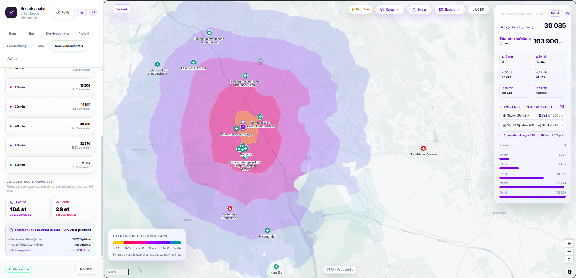
Spatial & Isochrone Analysis
Multimodal routing, accessibility modeling, catchment areas and geographic travel times.
APIs & Integrations
Robust services bridging public records, geospatial databases and production web apps.
Interactive Mapping
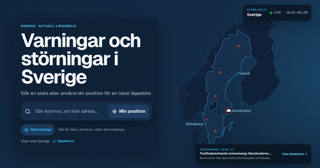
Lightweight, accessible map renderers designed for clarity and fast user interaction.
Open Data Processing
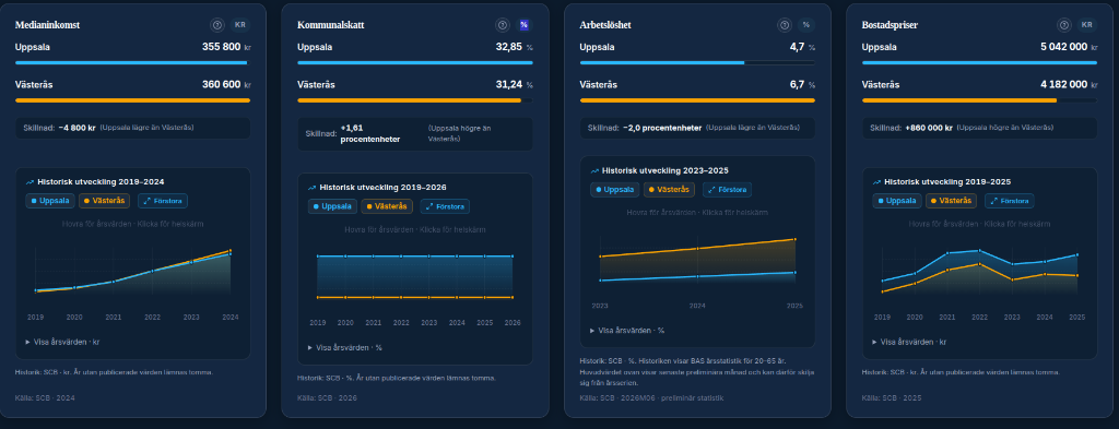
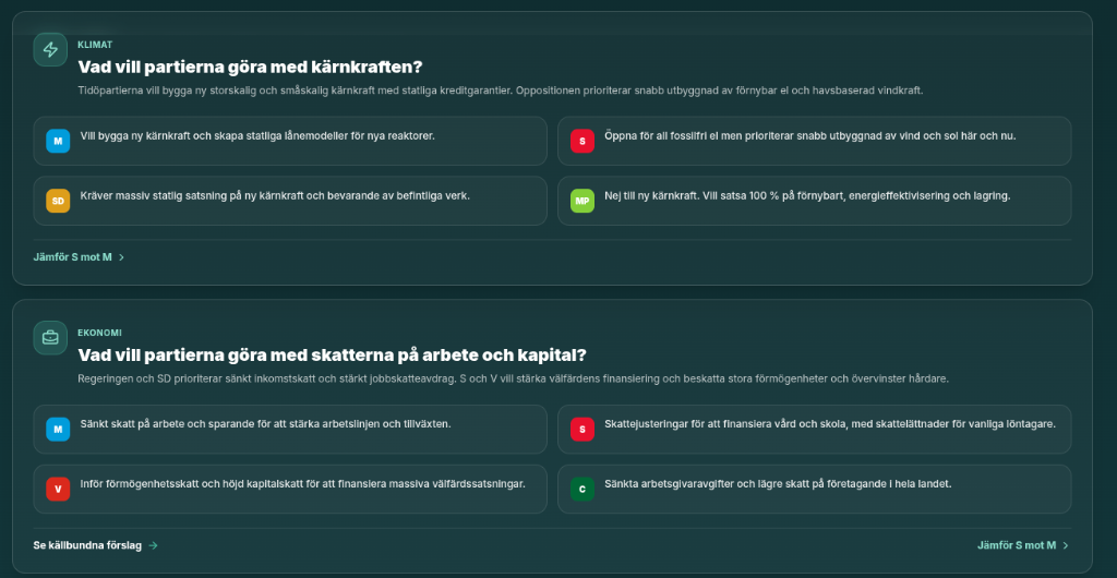
Structuring, validating and enriching official public datasets into actionable tools.
About GeoX
GeoX is an independent development identity for projects exploring the intersection of geospatial technology, data engineering and digital products.